C:\\tools\\geoscout\\readme.md
geoscout
OSINT.onion
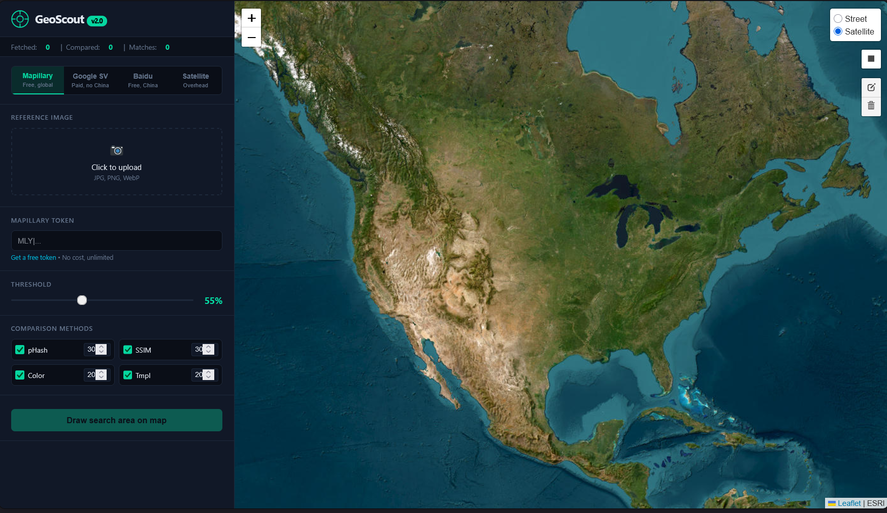
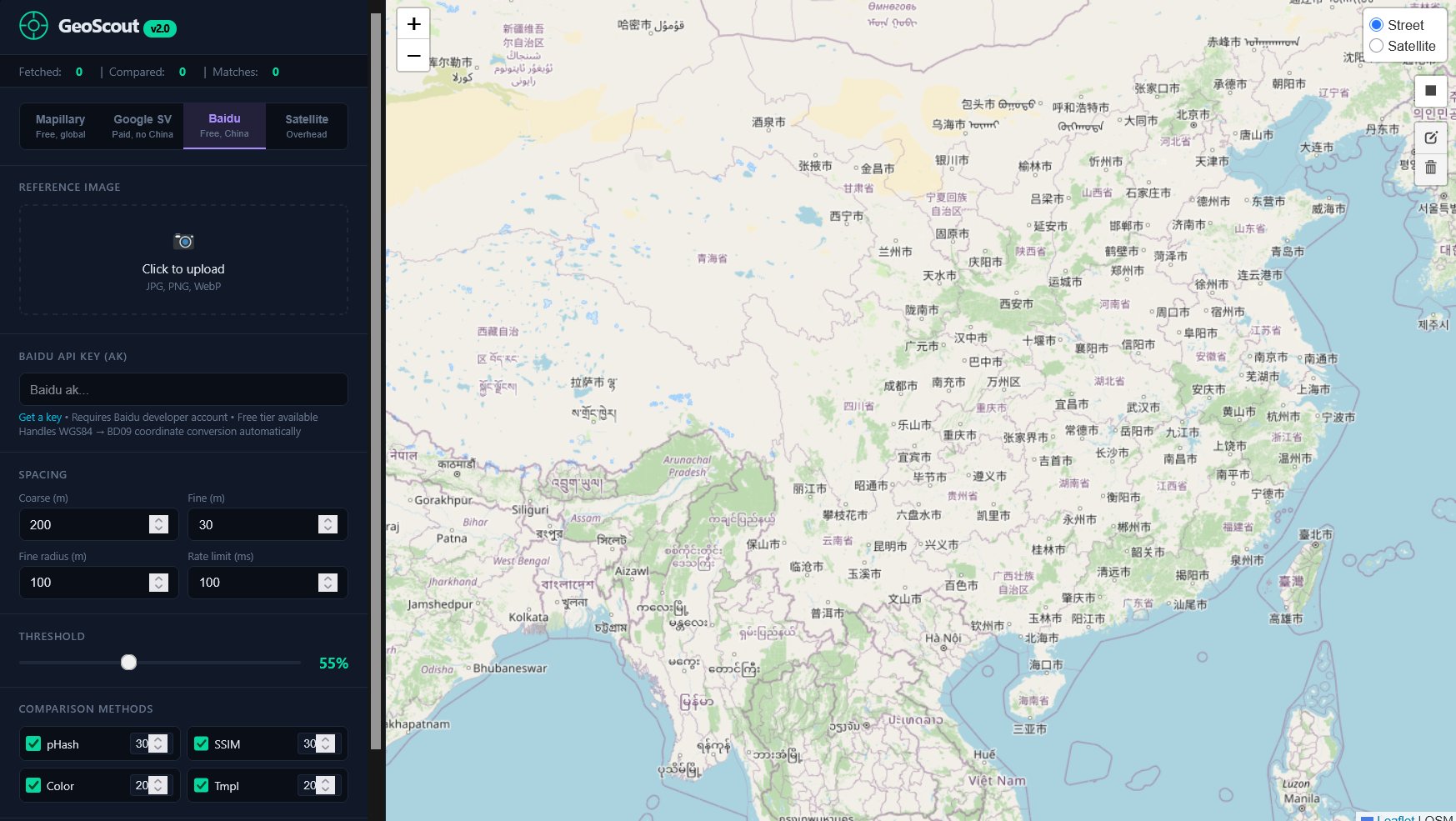
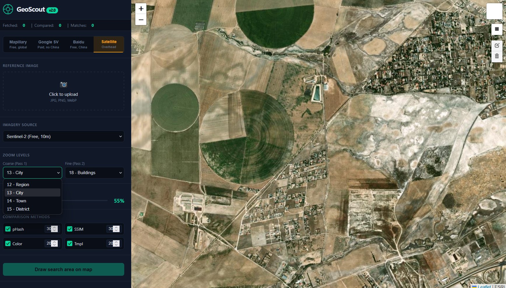
GeoScout is an image geolocation platform designed for investigative and verification workflows, in which a user uploads a reference image, defines a search region on an interactive map, and systematically compares that material against street level and overhead imagery sources. The system uses four comparison methods, namely perceptual hashing, structural similarity analysis, color histogram matching, and template matching, then weights those results to produce ranked candidate locations with direct map context. Its collection modes support Mapillary for broad public coverage, Google Street View for high precision urban matching, Baidu Panorama for Chinese city coverage, and satellite imagery for aerial or overhead cases.
C:\\tools\\geoscout\\screenshots\\
C:\\tools\\geoscout\\features.readme
C:\\tools\\geoscout\\sysreq.txt
